From the northernmost to the southernmost point of Iceland
How to cross Iceland?
We are planning to do an unsupported crossing of Iceland by foot from the northernmost to the southernmost point. Unsupported means, without the help of external food supplies - nothing will be picked up on the way, all is carried by us. Additionally we will carry a portable wind and/or water turbine to power all our electrical devices in the numerous water streams that we will come across.
We will start walking at Rifstangi, hike along Askja, cross Sprengisandur, flank Mýrdalsjökull in the east and finish at Kötlutangi close to Arnardrangur.
When will we start walking?
The possible timeframe is quite limited. Summer is short and using the advantage of milder weather conditions it can only be done from June till September. Due to
personal schedules and with the hopes that a mild summer will bring good trail conditions our trip is determined to start in the beginning of august.
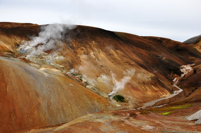
The highlands
The Icelandic highlands are a special place. They define the inner part of the country higher than roughly 500m above sea level. It is a rather hostile place, which
is why all settlements are located close to the coast. Some hydroelectric power stations and a few gravel roads are about the only traces of humans that can be found in the
highlands.
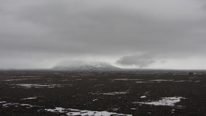
Sprengisandur is a plateau in the highlands, which is located between Hofsjökull and Vatnajökull. Its altitude ranges from 700 to 800 m above sea level.
Sprengisandsleið, the only dirt road that crosses this plain and has been used since the earliest settlement. Back then it was
taken on horseback, but it has always been feared for the rough weather and drought as well as the many myths and sagas that surround it.
Sprengisandur is practically a black stone desert with hardly any vegetation and stretches with only few water. Due to the wide and open surroundings with a low roughness of the surface, it
offers little resistance to the wind and little protection against the resulting strong winds.
Numerous rivers must be crossed, the white sediment-rich water usually comes directly from the glacier and has temperatures little above freezing depending on the distance from the glacier. This
is how some rivers become an impassable obstacle, making the route depend heavily on their course and has to be fitted to them.

The coast
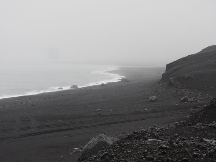
The northern tip of Iceland is at the Arctic Ocean and misses the Arctic Circle super close with only 2.5 km. In the far north at our starting point flat and green coast lines are waiting for us, but this will change quickly in the interior of the country. The south coast, on the other hand, is crossed by wide rivers that make their way towards the sea. Therefore, the end of the hike will rather be characterized by a lot of black sand and alluvial material at the shore